
In the last four Opinions, we’ve explored the process of choosing the right synthetic fertilizer within the framework of ‘the four Rs’ (Right Fertilizer, Right Application Rate, Right Timing, and Right Placement).
Our most recent discussion on Right Placement was based on even (homogeneous) application, but we now consider Precision Agriculture (PA) and its role in Sustainable and Sustainable Intensive Agriculture (SA/SIA).
Variable Rate Technology (VRT)
Although we’re discussing VRT for fertilizer application, it can be used for any agricultural application such as planting seeds, agrochemicals, or irrigation systems.
For advanced mechanized fertilizer applications, VRT is normally linked to a satellite Global Positioning System (GPS), as well as an in-cab interface in the machinery and suitable software, normally a Geographic Information System (GIS). GIS can analyse multiple layers of data or variables, often called ‘Map Based Systems’. Electronic communication between the in-cab interface and the rate of application controller on the machine allows different rates across the field and can be followed by the operator on monitors and georeferenced zone maps. Links can also be made to other external sources, such as weather information or available topographic maps.
When map based VRT was introduced in the 1990s, it was expensive and only really appropriate for large fields. But today, simple systems for VRT application of fertilizer using handheld devices or mobile phone-based systems means the underdeveloped world is starting to gain access to this technology. Even if there’s no linkage to individual farm fields, it can still provide heaps of valuable data and advice.
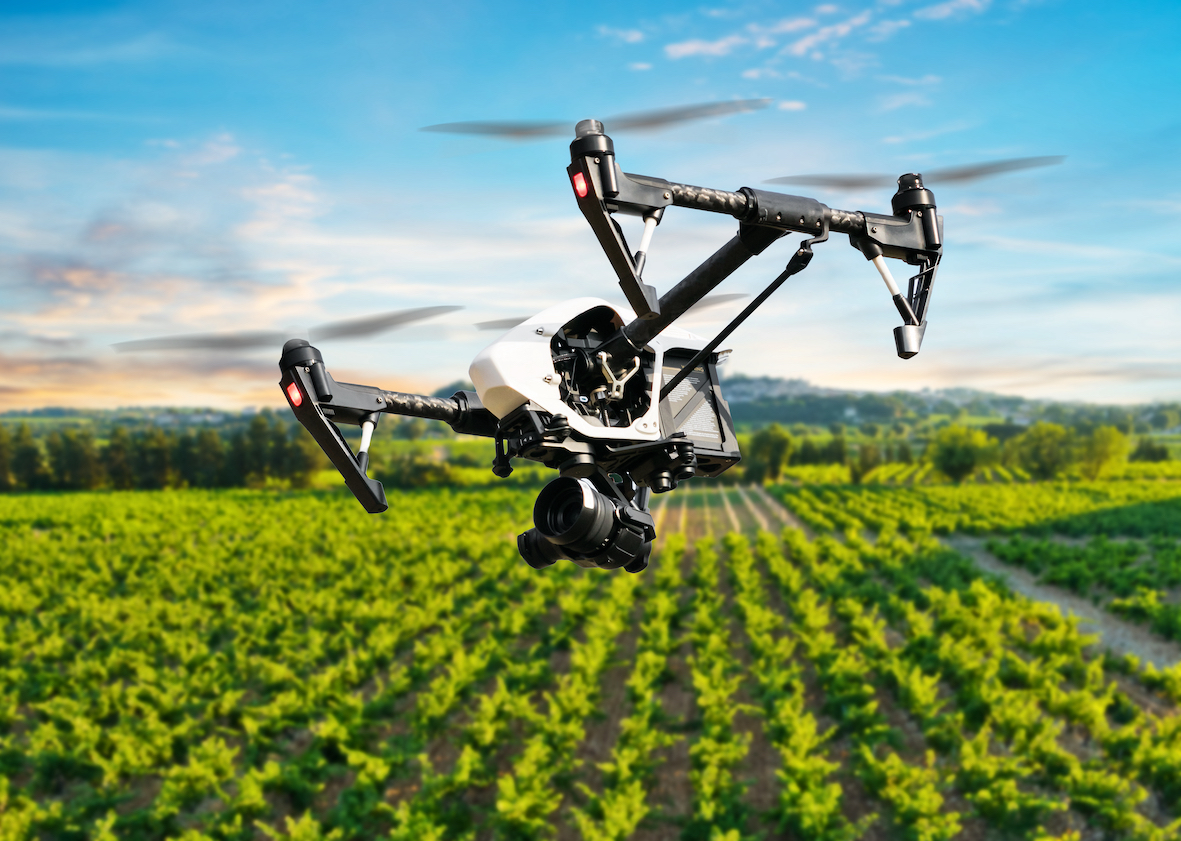
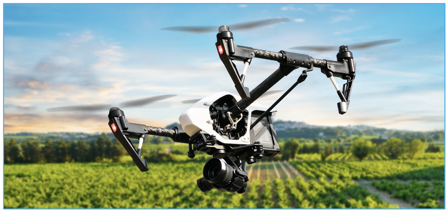
Another major advance has been to use VRT in conjunction with drones to apply mostly foliar liquid fertilizers (and agrochemicals) in even the tightest of spaces.
Sensing Systems
The data input for VRT can come from a variety of sensing sources. In-field system data can be as simple as manually collected grid and georeferenced (mapped coordinates) soil nutrient and pH samples. However, the systems can also be more sophisticated, collecting data during mechanical harvesting or other if-field activities, for example.
Satellite Near Infrared (NIR) sensing has been around for 40 years and, for most of that time, it was useful for large-scale data and mapping. Depending on scale and resolution, this has now been supplemented by remote sensing, using low-orbit recoverable rockets and drones. All objects and living matter emit radiation as UV, visible light (VIS) and infrared.
When solar radiation passes through the earth’s atmosphere, air and pollutants scatter visual light, but almost all infrared (IR) wavelengths can pass through and each ground object emits a signature emission as heat, which can be detected by a satellite. This is accurate for a large biomass such as a crop. One part of the IR spectrum, Near Infrared (NIR), produces many of the most useful signature emissions.
An alternative is to use a device that is handheld or attached to a machine and emits brief bursts of IR and NIR light at a plant, measuring the amount of each that is reflected back. Healthy vegetation with higher levels of chlorophyll reflects more NIR (and green light) than other wavelengths. This reading gives a measurement of plant vigour and health called the ‘Normalized Difference Vegetation Index’ (NVDI). Both methods (satellite and local) can produce NVDI ratings. More advanced NIR spectroscopic systems can also be used to detect levels of micronutrients, such as magnesium and zinc and grain nitrogen, or areas of heavy weed concentration (weed banks) to be eliminated as wasteful of fertilizer. All of these can be adjusted by ensuing VRT fertilizer applications.
A logical development of these types of systems has been to add them as part of a package to a wide range of agricultural machines, especially those used for harvesting. This allows the farmer to use both NIR technologies but also those related items measurable within the machine such as yield, quality and crop moisture. By combining these technologies, georeferencing, IR/NIR analysis, and harvest machinery sensors, the modern-day farmer has a suite of tools to make good diagnoses and improve fertilizer application.
A relatively new and developing alternative is to place fixed remote wireless linked sensors in the soil to provide real time data connected to analytical apps. These will likely develop to measure soil moisture (for example) using electrical resistivity, to adjust fertilizer and irrigation levels or even analyse greenhouse gas emissions, of which fertilizer is a major culprit. This data will then be used to issue carbon credits or disincentives based on the results.
The uses of VRT in fertilizer are significant for both SA and SIA and there are multiple benefits, which include:
1. Targeted Fertilizer Application (reducing waste and improving yields)
2. Better Nutrient Balance (increasing profitability and improving yields)
3. Enhanced Ability to Alter Crop Quality
4. Reduced Greenhouse Gas Emissions
5. Flexible Fertilizer Application (avoiding periods of heavy rainfall to minimise runoff)
6. Making Use of Developing Technologies to Relieve Labour Shortages (e.g. driverless vehicles)
Final Thoughts
Although we’ve been discussing VRT in the context of fertilizer application and precision agriculture, these combined technologies are creating a high-tech revolution in agriculture.
We’ll revisit this subject in relation to many other agricultural areas such as water management and improved diagnostics for control of pests and diseases.
They’re an excellent example of not just avoiding wasteful use or optimizing materials, but also have the potential to significantly increase yields, a key principle of SIA. They can be used at different levels of resolution too, from a farmer making individual micro-decisions to a government or other body making macro-decisions.

Other Opinions You Might Be Interested In…