Main Points
- In the coming days, the Center-South is at risk of more frost.
- It is still difficult to measure the impact, but the sector is already externalizing concerns.
- For the time being, we are maintaining our sugarcane number, but we have not ruled out the risk of a more intense break
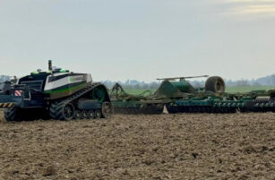
Watch out for the cane fields this week!
- With the cold front forecast for the next few days, there is a new risk of frost.
- According to INPE (Institute of National Institute for Space Research), the Center-South region is under attention in the next 3 days.
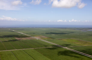
Frost Forecast – Reach throughout the CS region
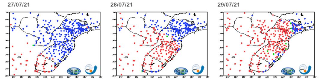
- Being the 29/07 the most intense day, reaching practically the entire Center-South region.
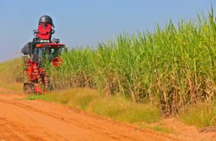
Difficult to measure…
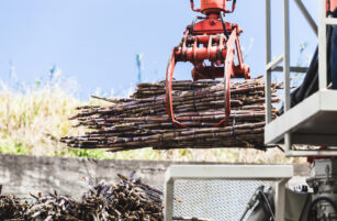
- In an older cane field and hampered by the dry weather, frosts increase concerns about lower availability of sugarcane and ATR.
- Sugarcane mills and suppliers indicate possible effects on 21/22 and 22/23, but the quantification of the impact should take place when the cane is harvested.
- We will have the first hints of June frosts this week with UNICA’s biweekly publication.
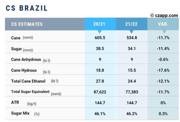
- For the time being, we maintain forecasts at 535mmt of sugarcane, but we do not rule out the possibility of a sharper break.
Speaking of Cane
- We launched the Consecana Panel in Czapp.

- Everyone can access, just have a Czapp account (free).
- Send feedback and comments, we’re eager to improve the experience even further
Reports that might like:
- CS Brazil: Risk of Frost in Cane Fields This Wednesday
- CS Brazil: Frozen Cane Fields
- Worse Than Expected…4.5mmt Less Sugar from CS Brazil
Dashboards that you might like: